Keysheets
About this feature
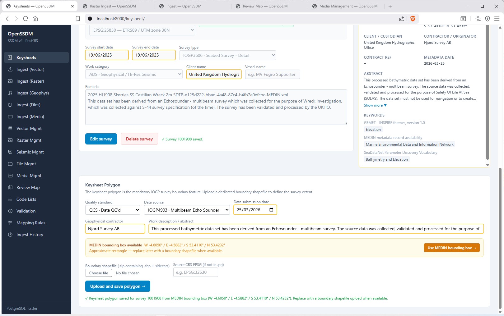
The Keysheet editor creates and manages survey metadata records and assists the user in the creation of mandatory Survey Job and Survey Keysheet feature classes required by IOGP.
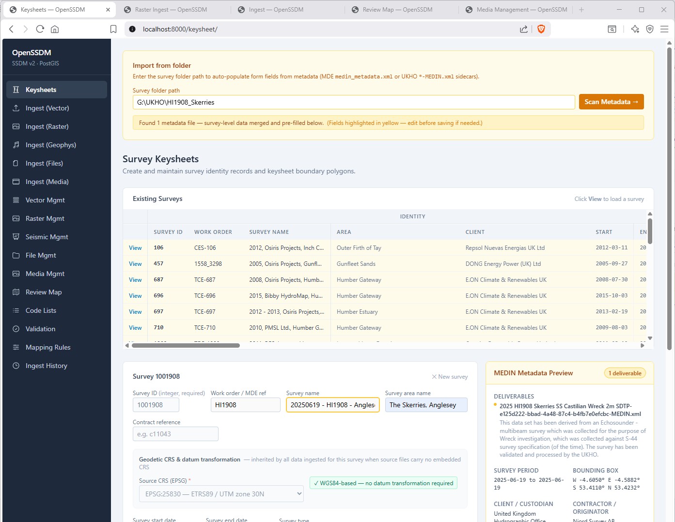
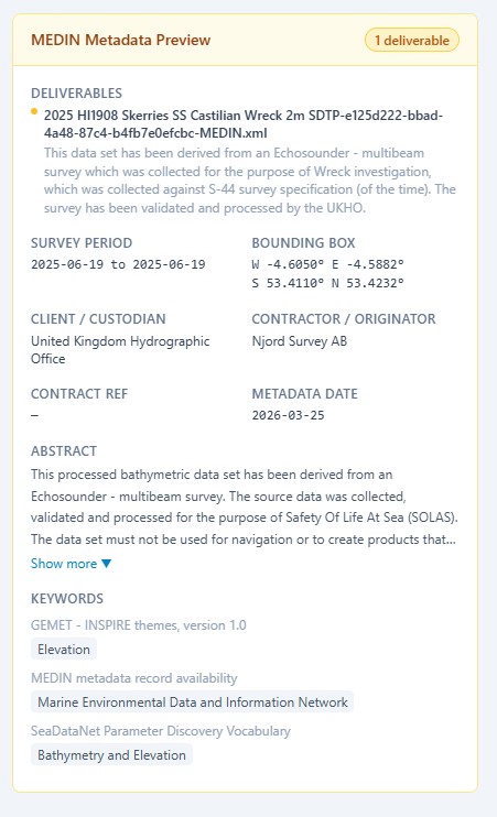
Supports the MEDIN (Marine Environmental Data & Information Network) metadata standard. https://medin.org.uk/data-standards/medin-discovery-metadata-standard
A user can scan a folder of survey deliverables and the system will detect MEDIN metadata *.xml files. The system merges survey-level fields across deliverables, and pre-fills key survey and keysheet attributes. This step accelerates data entry and preserves metadata provenance, while allowing users to review and edit all values before committing the survey record to the database. On commit a copy of the Medin metadata xml file is also stored to the database for future reference.
Comprehensive CRS Support:
OpenSSDM treats the Coordinate Reference System (CRS) definition in the keysheet as mandatory survey metadata, not optional context. In the keysheet workflow, operators select the source CRS and, where required, the datum transformation to WGS84. The app pulls CRS options from PostGIS and transformation candidates from pyproj/PROJ, including accuracy and pipeline text. The chosen values are stored and reused by ingestion routes whenever source files are missing, incomplete, or ambiguous in their embedded CRS metadata.
This matters because OpenSSDM standardizes stored geometry to EPSG:4326 while contractor deliverables often originate in UTM or legacy datums. Accurate reprojection therefore depends on both the declared source CRS and the correct transformation parameters. By capturing these settings up front, the system preserves positional fidelity, avoids silent shifts in tracklines/polygons, and keeps QC/topology results defensible. Reprojection and CRS handling are implemented through the open-source stack (pyproj/PROJ, GeoPandas/Fiona/GDAL, rasterio, and PostGIS), giving a transparent, auditable path from raw survey coordinates to SSDM-compliant storage and map display.
Under IOGP SSDM delivery conventions, a survey boundary polygon is mandatory, and OpenSSDM supports this directly in the keysheet screen by providing two practical creation paths: users can upload a boundary shapefile ZIP (with sidecars) to generate the authoritative polygon, or quickly create an interim rectangular polygon from MEDIN bounding-box metadata after a folder scan.