Ingest (Raster)
About this feature
The raster ingest wizard builds a catalogue of typical survey raster deliverables—e.g. bathymetry grids, side-scan mosaics, and backscatter images. It scans a deliverables folder, identifies and unpacks raster files, and runs key QC: extent, CRS, and basic quality checks. It links each raster to a survey keysheet so horizontal and vertical positioning stay consistent with the rest of the project. After QC, it writes a catalogue record to the raster_inventory table in PostGIS. For preview on the Review Map in 2D and 3D, it also creates compressed Cloud Optimized GeoTIFFs (COGs) and Terrarium RGB tiles for terrain draping
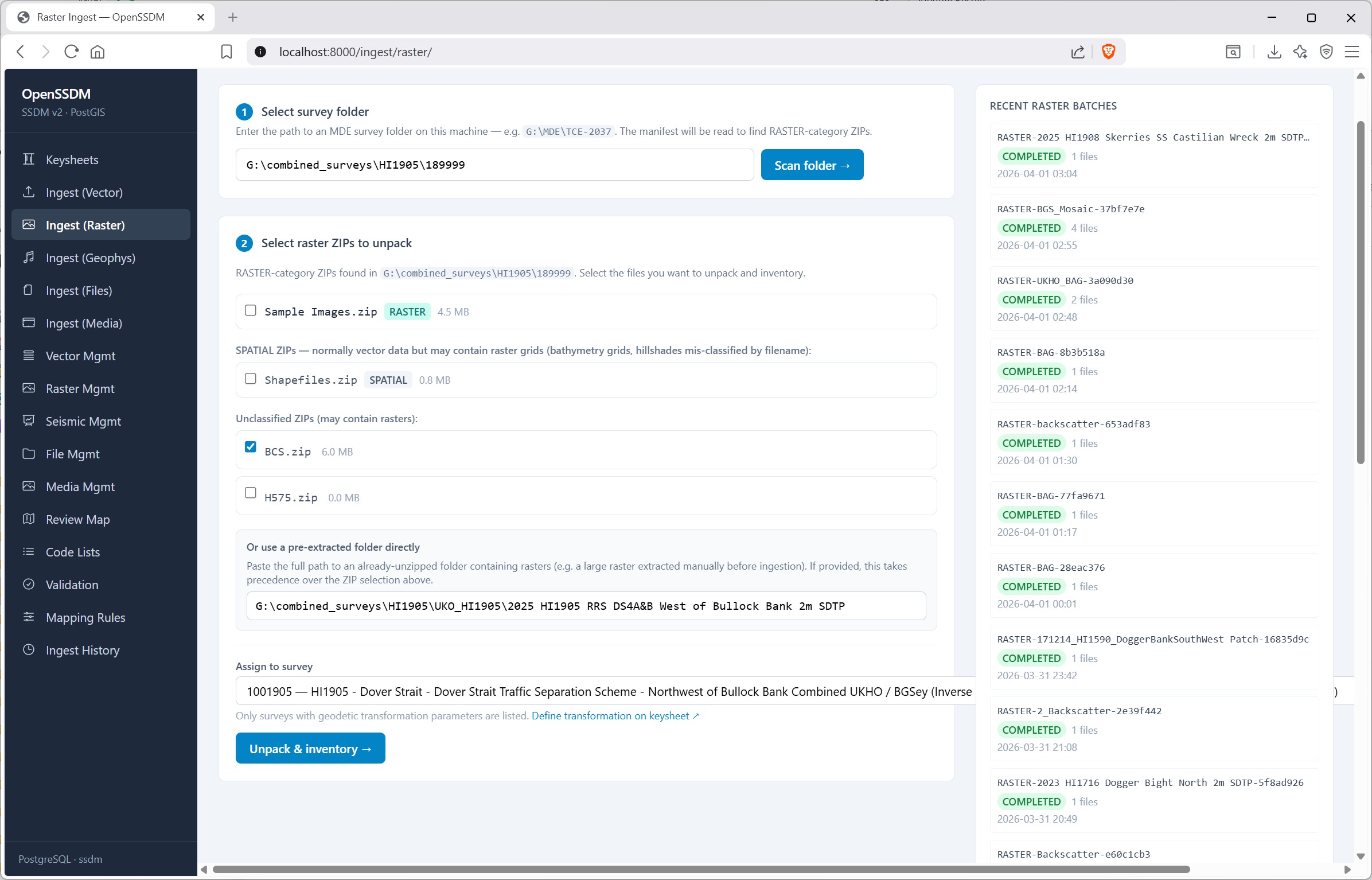
Format support — The raster wizard ingests common grid deliverables that GDAL/rasterio supports, including GeoTIFF, UKHO BAG, NetCDF, ESRI ASCII Grid, Surfer GRD, VRT, and typical XYZ-style text grids, plus specialist paths such as UKHO scattered bathymetry CSV and EGS swath folders.
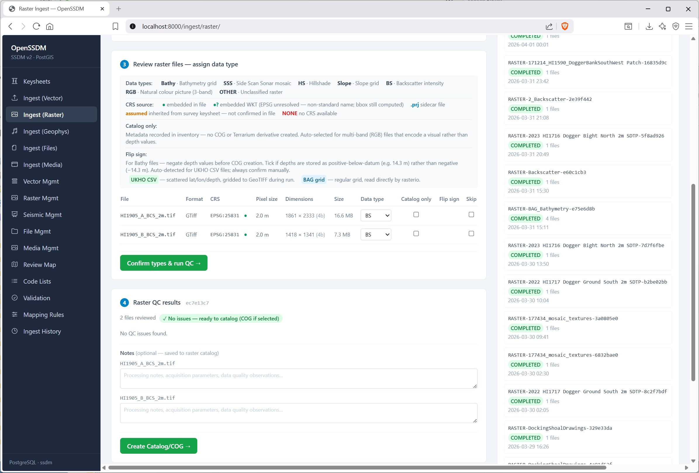
Raster processing: GDAL and Rasterio handle standard gridded rasters, including COG creation. Custom NumPy code to encode elevations into a 3-band Terrarium RGB GeoTIFF. Specialist point clouds—UKHO scattered bathymetry CSV and EGS swath folders—interpolated to grid in Python using Pandas, NumPy, and SciPy (with PyProj where lat/lon must be projected), the result is written to a GeoTIFF with Rasterio.